A photographic study of Michigan's Grand River and its watershed, 2014–present
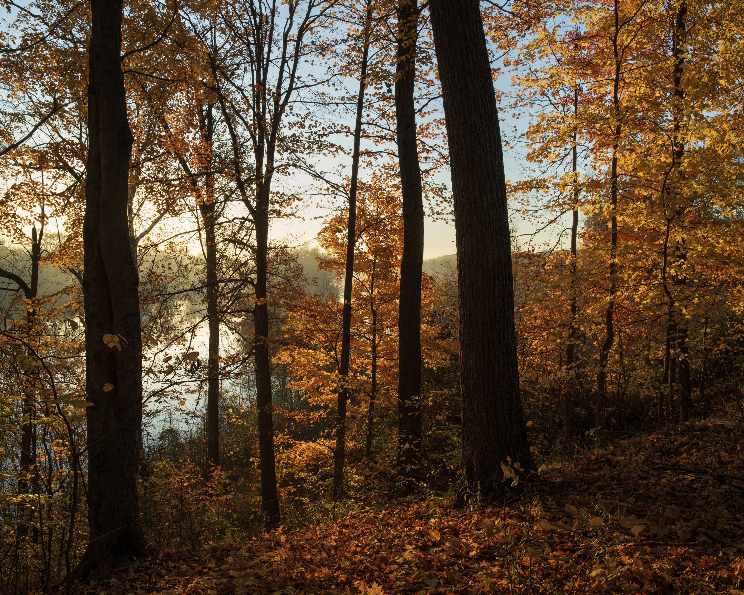
reDiscovering the Grand began in 2014 as a collaboration between photographers Nathan Abramowski and Jason Rutter, who both lived and worked near the river. The project set out to photograph the Grand as it is: the water, the land around it, and the people who live alongside it.
The Grand is Michigan's longest river. It starts from springs near the Hillsdale–Jackson county line and flows through Jackson, Lansing, Grand Ledge, Ionia, Lowell, Ada and Grand Rapids before reaching Lake Michigan at Grand Haven. It has always been a working river, shaped by mills, dams, power plants and the towns that grew up along it, and that history is still visible from its banks. Its health has improved a great deal over the last few decades, and parks along the river have given people new ways to reach the water. But most of a watershed is land, and what happens on that land, in yards, parking lots and fields, ends up in the river.
What has kept the project going is the connection between the river and place. Over the years, other projects came and went, many of them along the same banks, but the work kept coming back to the river. A move from Allendale to Ada, where the Thornapple meets the Grand, brought the river even closer to home. When it's unclear what to photograph next, the answer is usually the river. Over time, that habit has made it clear what the work is really about: time, the seasons and place, and how the river shapes the West Michigan landscape.
The work returns to the same places again and again: the M-45 bridge in Allendale, the 68th Street bridge at Eastmanville, the ravines and bayous of Ottawa County, the meeting of the rivers at Ada, and the dams in downtown Grand Rapids. It happens in every season and every kind of weather, often at sunrise. The river is never the same twice. Spring floods spread into pastures and parks. Late summer can drop the water low enough to expose the riverbed. Fall brings fog and color, and winter brings ice. The photographs are arranged by season to follow that cycle, with different years side by side, so a spring flood in 2014 sits next to one in 2026.
Going back over many years also shows how much changes. Since the project began, the Lyons Dam has been removed, and the river there now runs over open riffles. A new highway bridge was built across the river in Ottawa County. The coal plant on Harbor Island in Grand Haven closed and was torn down, and Lansing's Eckert plant stopped making power in 2020. An amphitheater was built on the site of an old city facility in downtown Grand Rapids, and work began on removing the downtown dams to restore the rapids the city was named for.
Documentation has always been part of the work. Some photographs were made because a change was coming, but others were made simply to record how a place looked that season and that year, creating records to draw from later. And sometimes change arrived unannounced, and the photographs were already there, made on what seemed like an ordinary morning. The river and the landscape surrounding it continue to change.